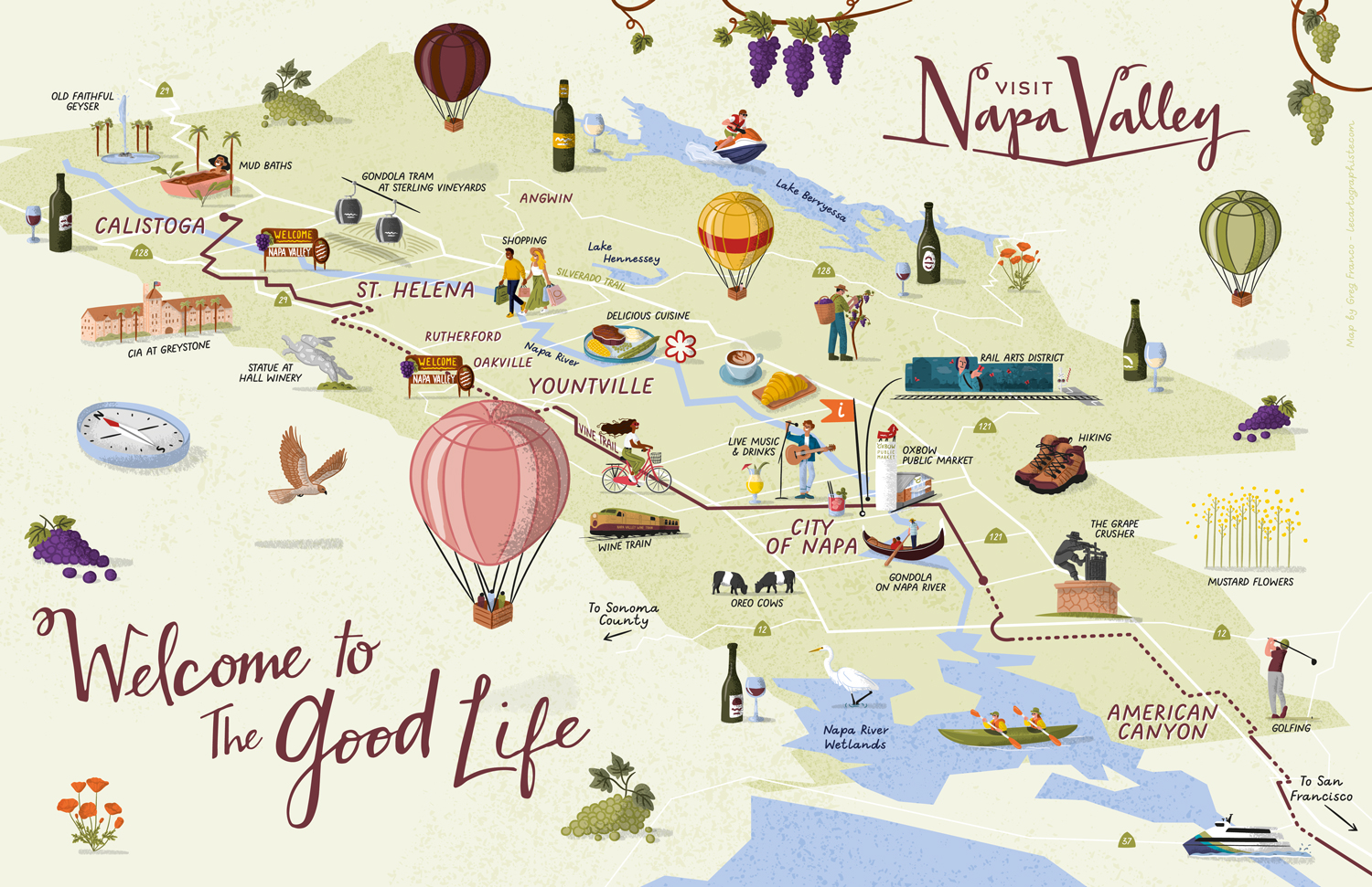
Map Purpose
Showcase everything Napa Valley has to offer, from landmarks to activities, through a fully illustrated and inviting tourist map.
Challenge
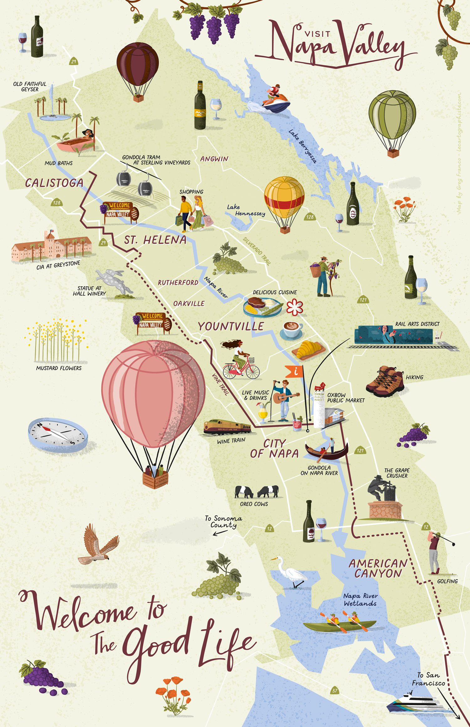
Balance 44 custom illustrations across a full map while keeping the layout clear and accurately representing the valley’s geography.
Project Description
This full Napa Valley tourist map is lively and colorful, designed to illustrate everything visitors can experience, from golfing and mud baths to gondola rides and live music. A playful, hand-drawn style fills the landscape, making it a welcoming guide to the region.
Illustrations There are a total of 44 illustrations on this map, from characters, to activity related illustrations, to landmarks. All these illustrations embody Napa Valley’s “Welcome to the Good Life” tagline. They are oversized, as if standing on the map, to really stand out and convey the atmosphere of the area. Although they are 100% vector, they are in a hand-drawn style with texture and shadows.
Type of ClientsTourism board / Destination marketing organization
LocationCalistoga, St. Helena, Rutherford, Oakville, Yountville, City of Napa, American Canyon, Napa Valley, California, USA
CreditsThis 100% vector illustrated map was created by Greg Franco - Le Cartographiste with Adobe Illustrator and without the help of AI.
Adobe Illustrator brushes from RetroSupply Co.