

Illustrated vs practical tourist maps: how destinations can stand out
Over the years as a freelance map illustrator and designer, I’ve had the pleasure of creating a wide variety of tourist maps for destinations around the world. While working with cities, tourism boards, and travel-focused brands, I’ve often found that people are unsure about the difference between illustrated and practical maps, and which one best fits their needs. So in this article, I’ll break down the two approaches, explain how they differ, and share why both can be incredibly useful in a tourism context.
1. What makes an illustrated map special?
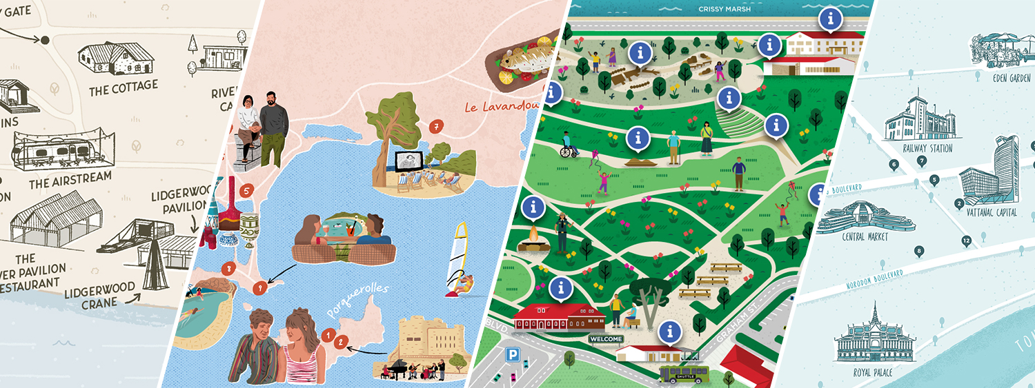
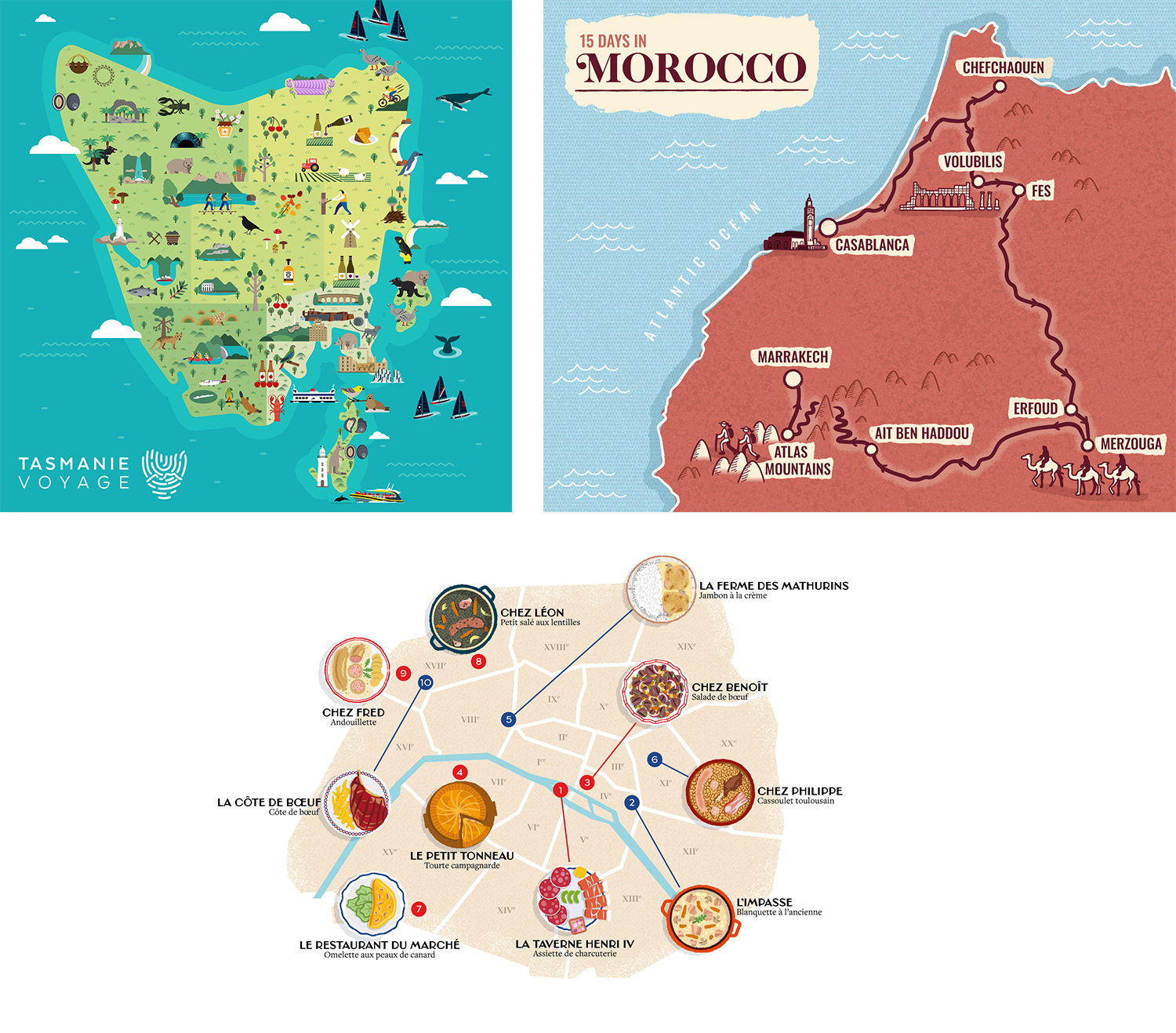
Illustrated maps are one of my favorite formats to create. Imagine a map that doesn’t just show where things are, but makes you want to go there. That’s the essence of an illustrated tourist map.
These maps are designed to highlight the charm and identity of a place, rather than showing every street or measurement with precision. Whether it’s a city, park, coastal region, or cultural trail, illustrated maps bring destinations to life through creative visuals: oversized landmarks, bold icons, vibrant color palettes, or playful characters.
They’re eye-catching and often used in tourism materials to create excitement and tell a visual story about the area. From visitor guides to promotional posters, they help attract and inspire people to explore a destination in a memorable way.
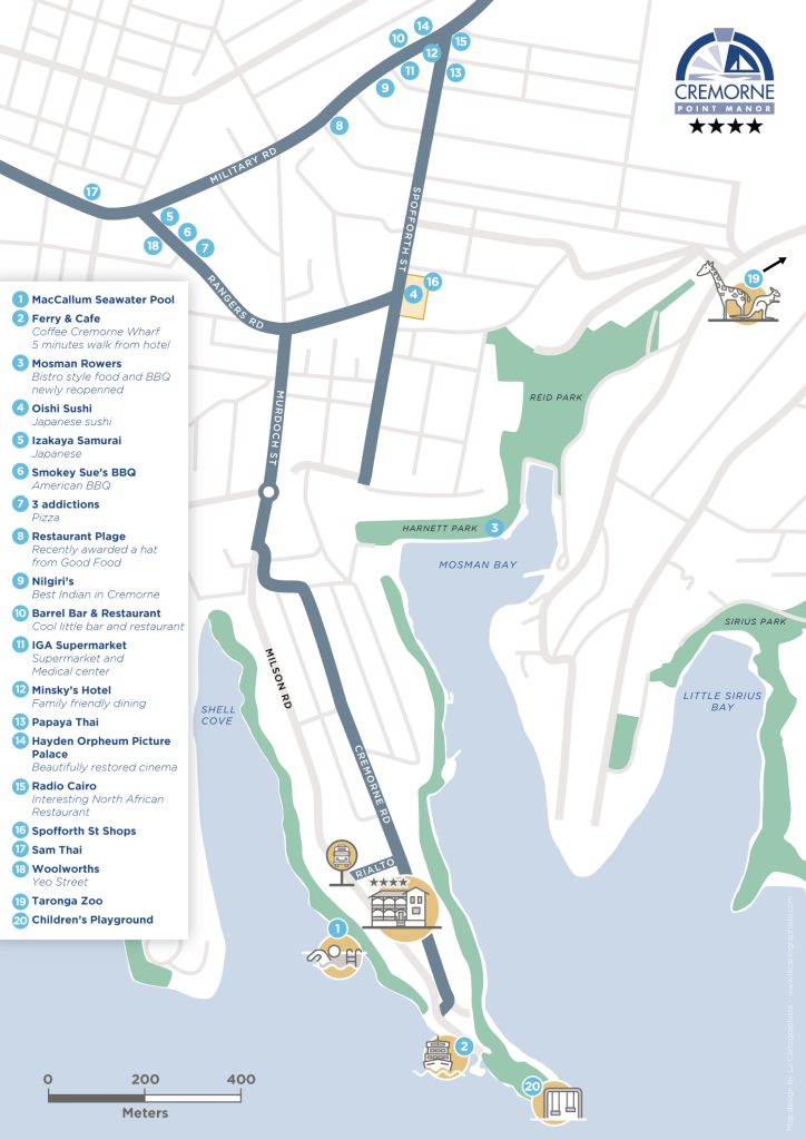
2. What defines a practical map?
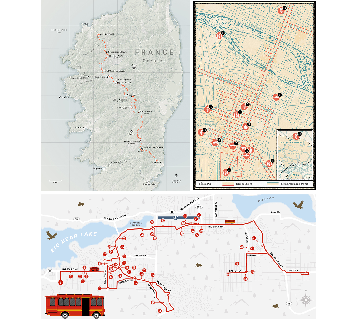
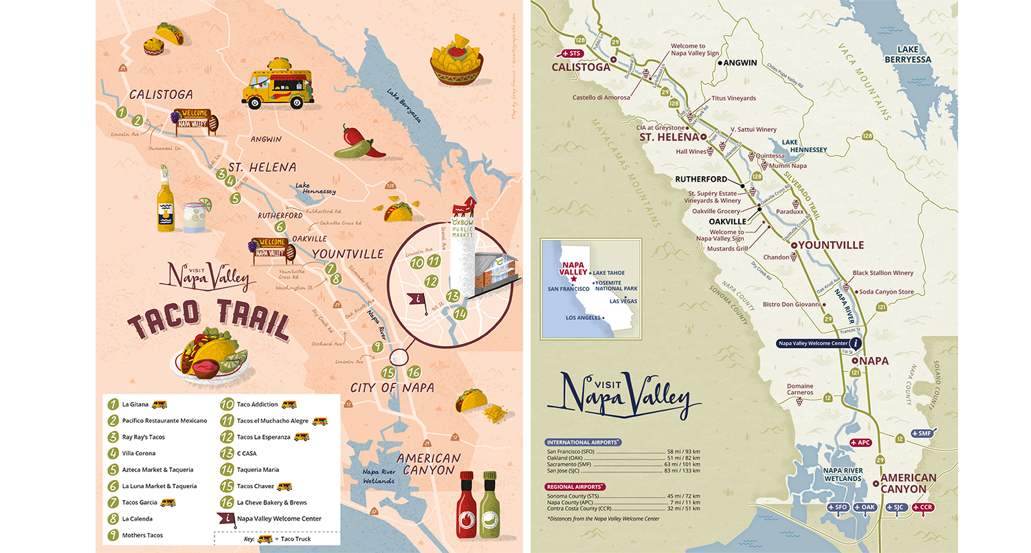
Practical maps are more traditional, they’re built with accuracy and clarity in mind. Designed to help people find their way around, these maps focus on geography, scale, and functionality. They’re great for showing roads, trails, neighborhoods, and specific locations with real-world accuracy.
In tourism, practical maps are often used in travel guides, hiking booklets, or on hotel handouts, where orientation and reliability are essential. They include features like distances, pathways, street names, and topography to help visitors navigate with confidence.
But that doesn’t mean they have to be dull! I still enjoy adding creative touches through layout, color, and icons to make these maps both useful and pleasant to look at.
3. How do illustrated and practical maps compare?
Here’s a quick overview of how these two approaches differ and complement each other, especially in a tourism setting:
- Artistic vs. Functional: Illustrated maps emphasize visual storytelling and charm, while practical maps focus on accuracy and guidance.
- Visual Appeal: Illustrated maps catch the eye and convey the mood of a destination. Practical maps prioritize readability and usability.
- Accuracy: Illustrated maps creatively highlight key features or experiences. Practical maps show precise distances and layouts.
- Purpose: Illustrated maps are great for promotional materials and sparking curiosity. Practical maps are best for orientation and helping visitors get around.
4. Benefits of using an illustrated map or a practical map
Both types serve important roles in tourism, and which one you need depends on the goal of your project.
Illustrated Maps:
- Engagement: Great for attracting attention and drawing people in.
- Destination appeal: Showcase highlights in a fun, memorable way.
- Flexibility: Works beautifully in brochures, websites, posters, or social media.
- Storytelling: Adds depth to travel guides and destination branding.

Practical Maps:
- Accuracy: Ideal for clear navigation and planning.
- Utility: Helps visitors move through unfamiliar areas with confidence.
- Detail: Includes essential info like roads, routes, and landmarks.
- Trust: Adds credibility and professionalism to your visitor materials.
5. So what type of map do you need?
If you’re planning a tourist map but not sure where to start, you’re not alone. Many of my clients reach out during the early stages of a project unsure whether they need an illustrated map, a practical map, or a mix of both. These questions can help guide your decision:
- What is the primary purpose of the map?
If the goal is to attract attention and showcase what makes your destination special, go for illustrated. If the focus is on helping visitors find their way, a practical map is best. - Who is your audience?
Illustrated maps are ideal for visitors seeking inspiration, culture, or leisure. Practical maps are useful for travelers needing clear orientation and logistics. - What kind of information should it show?
To highlight attractions, landmarks, or local flavor, choose illustrated. To show roads, distances, and access points, practical is the way to go. - Where will the map be used?
For marketing materials, visitor brochures, or online promotion, an illustrated map will help your destination shine. For printed travel guides, park signage, or wayfinding tools, a practical map ensures usability and clarity.

5. Conclusion
Both illustrated and practical maps have value, and often, the best projects use a bit of both. Illustrated maps draw people in and showcase the spirit of a place, while practical maps provide the precision and structure visitors need to explore with confidence.
In tourism, choosing the right type of map comes down to purpose, audience, and format. If you’re not sure, I’m always happy to help guide that decision based on your goals and content. A successful map isn’t just beautiful or accurate, it’s the one that connects your destination with the people who are excited to discover it.
If you want a deeper look at how tourism boards can use illustrated maps to inspire visitors in practice, explore my article on what goes into creating an effective map.
To learn more about me, visit my About page and if you want to see more of my work, you can browse my portfolio. You can also follow me on Instagram for recent work and updates.
Greg Franco